Course Maps
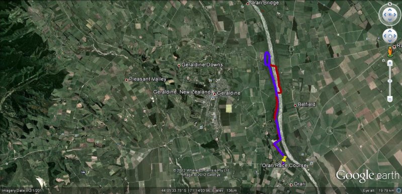
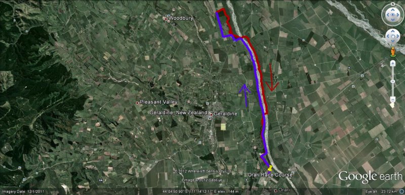
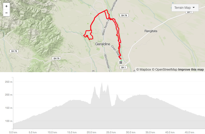
Below are the course maps for the 2026 Multi Challenge Event.
The 13.8km and 21.8km run will still cross the river for a portion of the race.
18km Recreational Fun Ride
Designed for family groups and those wanting a shorter ride to enjoy. This ride still uses the single and 4WD tracks alongside the Orari River.
Previously flood damaged tracks on the North side of the river have been reestablished so we plan onreverting back to the "old" tracks on the North Side of the river that we used in the past.

32km Intermediate Challenge
This is a shorter race for those who still like a good workout and a challenge.
Mostly on tracks alongside the Orari River with some enjoyable single MTB tracks as well.
Previously flood damaged tracks on the North side of the river have been reestablished.

52km Geraldine MTB Challenge
This event is for competitive riders who want a longer distance which includes some hill climbing and more single MTB tracks.
The route for this event is a combination of river and farm tracks
click on map for details
13.8km recreational run
21.8km half marathon - off road


